Route
Hikumutu Road to Taumaranui, Ongarue Back Road to Ongarue than up the Timber Trail to Piropiro
Link to Map
Distance: 108 km
 |
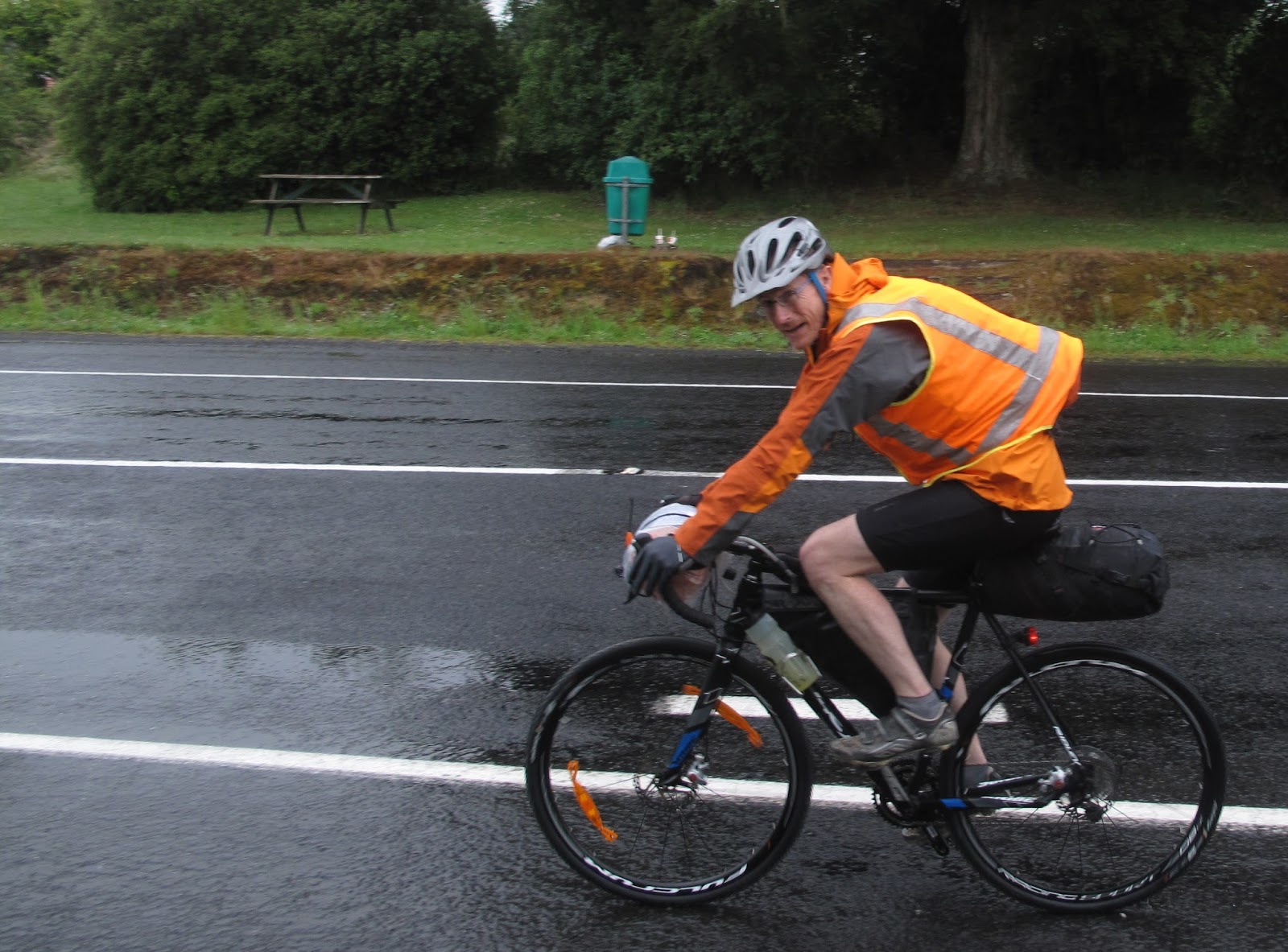
| Putting off the moment - it's wet out there! |
It’s a fair drive back to Owhango so it’s 9.45 by the time I hit the road in the rain – this time wearing two pairs of cycle shorts – for the rest of the trip in fact. The back road (Hikumutu) to Taumaranui is a good chance to check out the new bike. First impressions: geared much higher than the MTB (have to work on the hills!), twitchy on the down hills in gravel, have to take care to avoid larger bits of loose metal. Basically feels like it’s built for acceleration; a bit of a grey hound (although more like a Labrador given my current pace and the propensity for the seat bag to wag the tail end).
 |
| And he's off |
I surprise (and vice versa) a group of black piglets that squeal and try to out race the bike briefly, fortunately the mother isn’t in the offing and they’re behind before any tangle with the bike. A long stop is required in Taumaranui at 11 to adjust the gears then it’s off again up the back road to Ongarue at 12.30 in rain and wind.
 |
| More fiddling in Taumaranui |
 |
| Not the brightest of days in Ongarue |
It’s a lovely little road – sealed for a fair way then pretty good gravel road after. Sally turns up at Ongarue and we stop in at an accommodation place around 2pm in steady rain which has chairs under a veranda. The owner is making the most of the Timber Trail providing accommodation and some bikes for hire. He’s a bit of a character and charges us Wellington prices for a terrible coffee offset by a huge pot of tea. A couple from Wellington have just completed the second half of the trail and seem to have enjoyed it having stayed at the Blackfern Lodge (accessible from the trail).
The Timber Trail
 |
| The start of the trail proper |
There is good info on the web about the trail from
NZ Cycle trails, the
trail website, and
Tread Routes including section distances, descriptions, accommodation options, photos, shuttles and elevation charts. Every kilometre along the timber trail is marked and there are information boards.
On a general note, there are useful pamphlets available at
visitruapehu which include the
timber trail as well as a ton of other local rides and useful maps linking them all.
Once again it seems that everyone does the route from the other end. The point is moot however as I set out at 2.45 and see one pair of cyclists at the start and no more for the rest of the day. Piropiro campsite is about halfway and I figure on staying there.
 |
| Still raining - looking back down from the spiral |
The track is easy to follow and has a good grade (as expected of a tramway). The spiral and various information boards about opening the area up for logging provide some interest to offset the complete absence of view behind the clouds. The track is still firm underfoot, and the bush is verdant in the wet. It’s sweet riding and the bike handles the conditions without problems. The bridges are long but wide and solid – definitely suspension not swing bridges.
I toy with the idea of continuing through to dark but at 6pm it’s still raining and there’s a shelter free at the Piropiro campsite. Sleeping under the table means the leaks in the roof can be avoided. There’s also a stack of newspapers to spread on the concrete under the air mattress. Perfect: so much better than a cramped biv.
 |
| Home for the night |
 |
| More comfortable than it might look |
Warm dry clothes, a trip for water, a dehy meal on the penny stove and hanging everything out to drip passes time before dark. The light goes off early as I’m not keen on the Huhu beetles that are hurtling around smashing into anything close to the light.


No comments :
Post a Comment